|
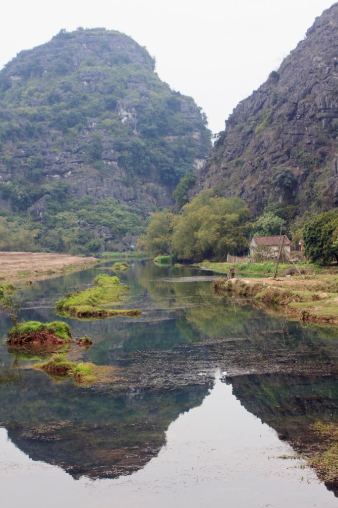 |
| Landscape in the Dry Halong Bay | |
| Latitude: N 20°16'3,50" | Longitude: E 105°54'34,83" | Altitude: 6 metres | Location: Nguyen Ngoai | City: Ninh Binh | State/Province: Hoa Binh | Country: Vietnam | Copyright: Ron Harkink | See map | |
| Total images: 23 | Help | |